Terrain on the map
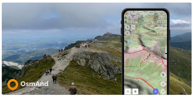
OsmAnd has the ability to display terrain offline in a variety of ways: contour lines, hillshades, slopes, altitude graphs..
In the last releases for Android we added Pro features with Elevation data. The Elevation widget shows a graph with the elevation and slope of your navigation route and your current location on this graph with the current altitude and slope. The graph is plotted on two axes. The X-axis is the distance of your route. The Y-axis is the altitude above sea level, the value of which depends on the relief, and the slope is displayed as a percentage.
The relief of the terrain has a great influence on the trip. Of course, it's very important to know what uphills and downhills await us on the way. In OsmAnd you can see the Altitude graph when building a route. The graphs can be worked with both GPX tracks and routes.
